Drones for Aerial Surveys: Precision Mapping Tools

In recent years, drones have revolutionized many industries, and aerial surveying is no exception. These unmanned aerial vehicles (UAVs) provide a powerful tool for precision mapping, offering unparalleled accuracy and efficiency. In this article, we'll explore how drones for aerial surveys are transforming mapping techniques, the technology behind them, and the numerous benefits they provide for various applications.
What Are Drones for Aerial Survey?
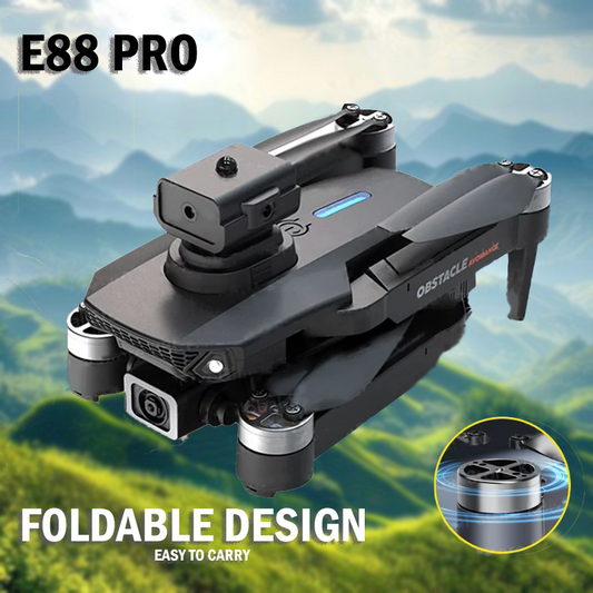
Drones designed for aerial surveys are equipped with advanced sensors and imaging technology, enabling them to capture high-resolution images and data from the sky. These UAVs can be utilized for a range of mapping purposes, including topographic surveys, land use mapping, and construction site monitoring. By integrating GPS and other positioning technologies, drones can provide precise geospatial data that is crucial for informed decision-making.
The Technology Behind Drone Surveys
- Types of Drones for Aerial Surveys
There are several types of drones commonly used in aerial surveying:
- Multirotor Drones: These are the most popular for surveying due to their ability to hover and capture detailed images from various angles.
- Fixed-Wing Drones: Ideal for covering large areas quickly, fixed-wing drones are better suited for long-range surveys but require more space for takeoff and landing.
- Hybrid Drones: Combining features of both multirotor and fixed-wing designs, these drones offer versatility for different surveying tasks.
- Sensors and Cameras
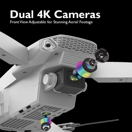
The effectiveness of Drones for Aerial Surveysin aerial surveys largely depends on the sensors and cameras they are equipped with. Common types include:
- RGB Cameras: Capture high-resolution color images, perfect for detailed mapping.
- LiDAR Sensors: Use drone laser scanning to produce precise 3D models of terrain and structures.
- Thermal Cameras: Useful for assessing energy efficiency in buildings or monitoring vegetation health.
Advantages of Using Drones for Aerial Surveys

- Cost-Effectiveness
One of the most significant benefits of using drones for aerial surveys is cost savings. Traditional surveying methods often require extensive manpower and equipment, leading to high costs. Drones, on the other hand, can quickly cover large areas with minimal personnel, significantly reducing labor costs.
- Time Efficiency
Drones can complete surveys in a fraction of the time it takes conventional methods. A project that might take days or weeks can often be accomplished in just a few hours with a drone, allowing for faster data collection and analysis.
- Precision and Accuracy
Drones equipped with advanced sensors provide highly accurate data. This precision is crucial for applications such as construction planning, where small discrepancies can lead to significant problems down the line.
- Access to Hard-to-Reach Areas
Drones for Aerial Surveys can easily access remote or difficult terrains, such as mountains, forests, or disaster-stricken areas. This capability allows surveyors to gather data from locations that would be otherwise challenging or dangerous to reach.
Applications of Drone Surveys

- Construction and Infrastructure Development
Drones play a vital role in construction and infrastructure projects. They can monitor progress, assess site conditions, and create accurate 3D models for planning. By providing real-time data, drones help project managers make informed decisions, leading to more efficient workflows.
- Agriculture
In agriculture , Drones for Aerial Surveys are used for crop monitoring, soil analysis, and precision farming. By capturing aerial images, farmers can assess crop health, identify irrigation needs, and optimize yields.
- Environmental Monitoring
Drones are increasingly employed in environmental studies, allowing researchers to monitor ecosystems, track wildlife, and assess the impact of climate change. Their ability to gather high resolution drones data over large areas is invaluable for conservation efforts.
- Mining and Resource Extraction
In the mining industry, drones facilitate site surveys, stockpile management, and environmental monitoring. They provide accurate data for resource planning and help ensure compliance with environmental regulations.
The Future of Drones for Aerial Surveys

As technology continues to evolve, the capabilities of drones for aerial surveys are set to expand. Innovations such as AI integration for data analysis, enhanced battery life for longer flights, and improved sensor technology will further enhance the effectiveness of drone surveys.
Moreover, regulatory frameworks are gradually adapting to accommodate the growing use of drones in various sectors, ensuring safety and efficiency in operations.
Drones for Aerial Surveys
Drones for aerial survey represent a significant advancement in precision mapping tools. Their ability to provide accurate, timely, and cost-effective data is transforming industries ranging from construction to agriculture. As technology continues to evolve, the role of drones in surveying will only grow, paving the way for innovative solutions to complex challenges.
Whether you are a surveyor, a farmer, or a project manager, leveraging drone technology can enhance your operations, leading to better outcomes and greater efficiency. Embrace the future of aerial surveying with drones and experience the difference in precision mapping today.
Find your perfect drone at our online drone store, where top-tier technology meets expert support. Transform your aerial projects with our premium selection.


