


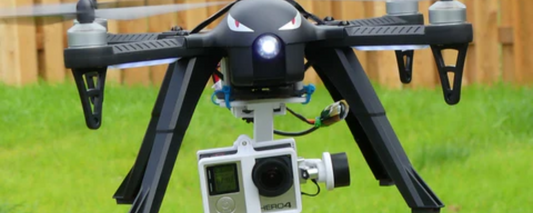
featured The Best Gimbals for Smooth Drone Footage
On 0 comments

The Importance of Geo-Fencing in Drone Flying
On 0 comments

How to Capture the Perfect Sunset with Your Drone
On 0 comments

Understanding Air Traffic Control for Drones
On 0 comments

The Advantages of Dual Camera Drones
On 0 comments
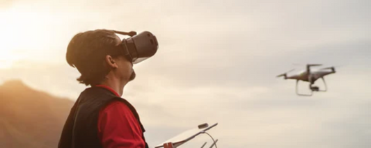
Drones and Virtual Reality: A New Way to Experience Flight
On 0 comments

How to Safely Transport Your Camera Drone
On 0 comments
